
Calcula el precio del transporte gratis
1 lote para entregar
-
 Lot n° 635
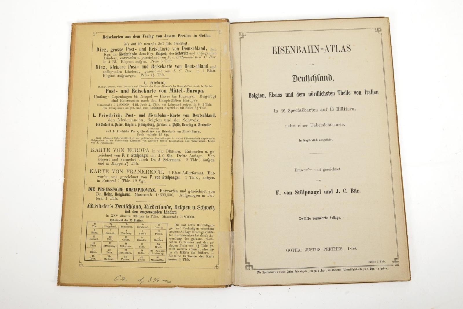
"Eisenbahn Atlas von Deutschland, Belgien, Elsass und dem nördlichsten Theile von Italien" Justus Perthes Verlag. Gotha. 1858. 23,5 x 15 cm. 12. vermehrte Auflage, von F. von Stülpnagel und J.C. Bär. Große Karte von Deutschland und benachbarter Gebiete und 13 doppelseitige Karten. Ausgebautes Eisenbahnnetz nach nur 23 Jahren, nachdem die erste Eisenbahn in Deutschland gefahren ist. Aufrufzeit 17. | Juni 2026 | voraussichtlich 15:14 Uhr (CET) "Railway Atlas of Germany, Belgium, Alsace and the northernmost part of Italy" Justus Perthes Verlag. Gotha. 1858. 23.5 x 15 cm. 12th enlarged edition, by F. von Stülpnagel and J.C. Bär. Large map of Germany and neighboring areas and 13 double-page maps. Expanded railroad network after only 23 years, after the first railroad ran in Germany. Aufrufzeit 17. | June 2026 | probably 15:14 (CET)*This is an automatically generated translation from German by deepl.com and only to be seen as an aid - not a legally binding declaration of lot properties. Please note that we can only guarantee for the correctness of description and condition as provided by the German description.
Lot n° 635
"Eisenbahn Atlas von Deutschland, Belgien, Elsass und dem nördlichsten Theile von Italien" Justus Perthes Verlag. Gotha. 1858. 23,5 x 15 cm. 12. vermehrte Auflage, von F. von Stülpnagel und J.C. Bär. Große Karte von Deutschland und benachbarter Gebiete und 13 doppelseitige Karten. Ausgebautes Eisenbahnnetz nach nur 23 Jahren, nachdem die erste Eisenbahn in Deutschland gefahren ist. Aufrufzeit 17. | Juni 2026 | voraussichtlich 15:14 Uhr (CET) "Railway Atlas of Germany, Belgium, Alsace and the northernmost part of Italy" Justus Perthes Verlag. Gotha. 1858. 23.5 x 15 cm. 12th enlarged edition, by F. von Stülpnagel and J.C. Bär. Large map of Germany and neighboring areas and 13 double-page maps. Expanded railroad network after only 23 years, after the first railroad ran in Germany. Aufrufzeit 17. | June 2026 | probably 15:14 (CET)*This is an automatically generated translation from German by deepl.com and only to be seen as an aid - not a legally binding declaration of lot properties. Please note that we can only guarantee for the correctness of description and condition as provided by the German description.
Nos preocupamos por la privacidad de tus datos. Lee nuestra Política de privacidad.