
Preventivo gratuito del prezzo del trasporto
1 lotto da consegnare
-
 Lot n° 2928
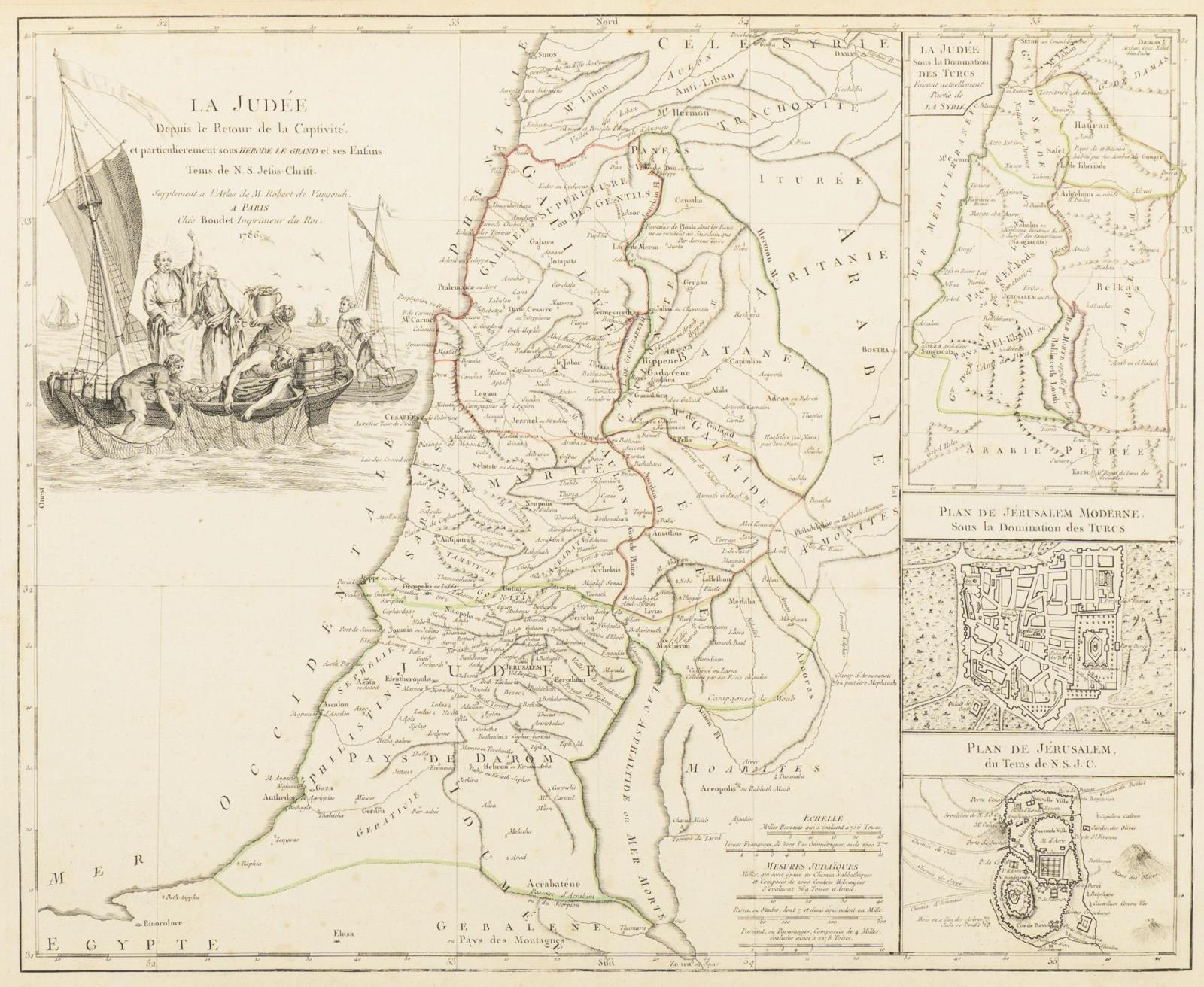
Landkarte Israel - "La Judee" Grenzkolorierter Kupferstich. 1786. 47 x 57 cm. Gerahmt & hinter Glas : 65 x 81 cm. Große Karte mit Vignette und drei kleinere Teilkarten, auf einem Blatt. Supplement a l'Atlas de M. Robert de Vaugondi a Paris. Ches Boudet .... Schwach Randfleckig. Aufrufzeit 20. | Juni 2026 | voraussichtlich 10:15 Uhr (CET) Map of Israel - "La Judee" Border colored copper engraving. 1786. 47 x 57 cm. Framed & behind glass : 65 x 81 cm. Large map with vignette and three smaller partial maps, on one sheet. Supplement a l'Atlas de M. Robert de Vaugondi a Paris. Ches Boudet .... Faint marginal spotting. Aufrufzeit 20. | June 2026 | probably 10:15 am (CET)*This is an automatically generated translation from German by deepl.com and only to be seen as an aid - not a legally binding declaration of lot properties. Please note that we can only guarantee for the correctness of description and condition as provided by the German description.
Lot n° 2928
Landkarte Israel - "La Judee" Grenzkolorierter Kupferstich. 1786. 47 x 57 cm. Gerahmt & hinter Glas : 65 x 81 cm. Große Karte mit Vignette und drei kleinere Teilkarten, auf einem Blatt. Supplement a l'Atlas de M. Robert de Vaugondi a Paris. Ches Boudet .... Schwach Randfleckig. Aufrufzeit 20. | Juni 2026 | voraussichtlich 10:15 Uhr (CET) Map of Israel - "La Judee" Border colored copper engraving. 1786. 47 x 57 cm. Framed & behind glass : 65 x 81 cm. Large map with vignette and three smaller partial maps, on one sheet. Supplement a l'Atlas de M. Robert de Vaugondi a Paris. Ches Boudet .... Faint marginal spotting. Aufrufzeit 20. | June 2026 | probably 10:15 am (CET)*This is an automatically generated translation from German by deepl.com and only to be seen as an aid - not a legally binding declaration of lot properties. Please note that we can only guarantee for the correctness of description and condition as provided by the German description.
Ci preoccupiamo della privacy dei tuoi dati. Leggi la nostra Informativa sulla privacy.